[category]
[title]
The Met Office has warned that the incoming storm will be a ‘multi-hazard event’ with snow, ice and wind warnings issued

Brace yourselves – the first named storm of 2026 is here. And, according the Met Office, it’s going to be a ‘multi-hazard event’.
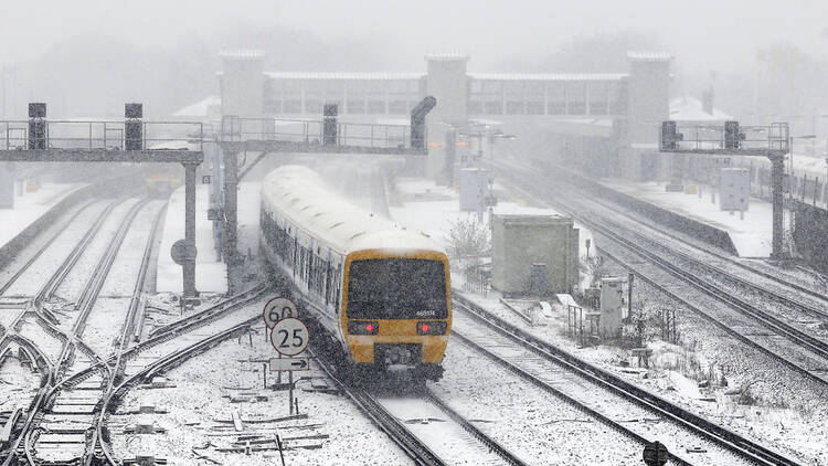
Storm Goretti, which has been named by French meteorological service Meteo France, will arrive in the UK this week. With it comes weather warnings across almost all parts of the country. Over the next few days, Brits can expect lots of rain, heavy snow, ice and gale force winds, with potential disruption to power supply and to road, rail and air travel.
Here’s everything you need to know about when Storm Goretti will land, how long it’ll last and where will be hit the worst.
Goretti will cross into England and Wales in the evening of Thursday January 8. Met Office Deputy Chief Forecaster Chris Bulmer said: ‘A deepening area of low pressure – named Storm Goretti by Meteo France – will move across the south of the UK during Thursday and into Friday January 9.
‘It will clash with the very cold air here, meaning Thursday night could be what we call a “multi-hazard” event, with snow on the northern flank of the low, wind and rain on the southern flank.’
The areas that will be worst affected by Storm Goretti will be in the south and southwest of the country. The Met Office says that snow accumulations of up to 30cm are possible in the Midlands and Wales, while Cornwall and the Isles of Scilly are under a red weather warning for high winds.
Here are all the weather warnings that are in place and the affected regions, according to the Met Office (find an up-to-date forecast here)
Impacted regions for 4pm to 11pm on Thursday:
Impacted regions for 8pm Thursday to 9am Friday)
Impacted regions for 8pm Thursday to 12pm Friday:
Impacted regions for 8pm Thursday to 9am Friday:
Impacted regions for 5pm Thursday to 12pm Friday:
Impacted regions for 3pm Thursday to 8am Friday:
Impacted regions for 12pm Thursday to 10am Friday:
Impacted regions for 6pm Thursday to 9pm Friday:
Those aren’t the only warnings in place. The UK Health Security Agency has issued an amber cold health alert for all regions of England effective until 12pm on Sunday January 11. The main advice to the public is to try and minimise trips outside as much as possible while the storm is active.
Adam Stachura, Age Scotland’s policy director, advised to the Met Office: ‘With such cold temperatures and icy conditions ahead, try and make sure you have enough food and any important medications at home to reduce the need for unnecessary and potentially risky trips. This is particularly important if you have mobility challenges or are unsteady on your feet by avoiding slips, falls and the need for medical attention.
‘If heating your home is a challenge, try and stay warm in the room or place you will spend most of your time by wearing layered clothing, taking warm drinks and food with some regular movement to help with circulation and keeping your muscles active.
‘And if you are out clearing paths and your drive of snow an ice, please think about also doing so for your older neighbours to help make it easier for them to leave the house if they need to. That act of kindness will go a long way.’
What about London? Here’s when and how much snow is forecast to fall in the capital this week.
Stay in the loop: sign up to our free Time Out UK newsletter for the latest UK news and the best stuff happening across the country.
Discover Time Out original video