[category]
[title]
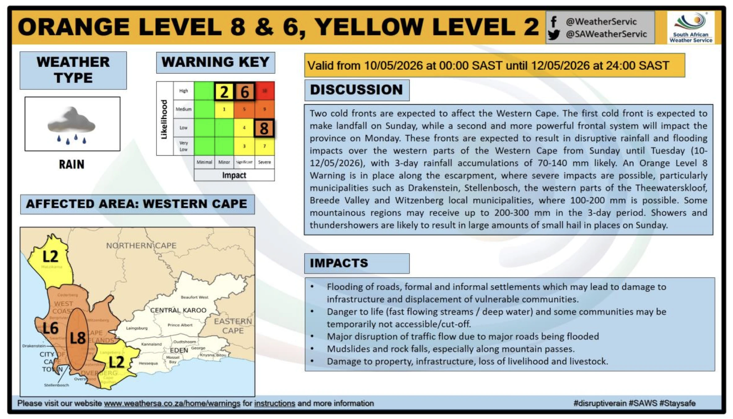
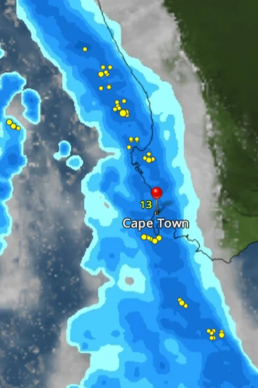
Large parts of Cape Town are on alert as a second cold front is set to bring a rough start to the new week.


UPDATE: 8pm, Sunday, 10 May - After a weekend of erratic weather lashed parts of the Western Cape, the South African Weather Service is warning of a second cold front expected to move in on Monday morning. It brings a multi-hazard weather event with flooding, strong winds, dangerous coastal conditions, and some snowfall.
"This weather system is expected to result in widespread disruptive rainfall, strong to gale-force winds, very rough seas, and significantly colder temperatures over the western interior and coastal regions."
The Cape Metropole and other parts of the south-western Cape are expected to be affected during the morning peak-hour traffic period on Monday morning, with additional severe weather warnings expected to be issued tomorrow for Tuesday.
Sustained gusts of 65–80 km/h, with gusts reaching 100–120 km/h, are possible over parts of Cape Town on Monday. If you need to be on the roads, extreme caution is strongly advised, especially near the Huguenot Tunnel, located between Paarl and Wellington in the Western Cape. The area is known for incidents in which high-sided vehicles are blown over during strong wind events.
Gale force winds of over 90km/h are considered extremely dangerous, with the city warning, "it often results in trees being broken or uprooted, and building or storm damage is considerable. Large waves (6-9 metres) with overhanging crests are visible, and the sea becomes white with foam."
The public is being asked to heed all warnings and remain vigilant, with the South African Weather Service advising:
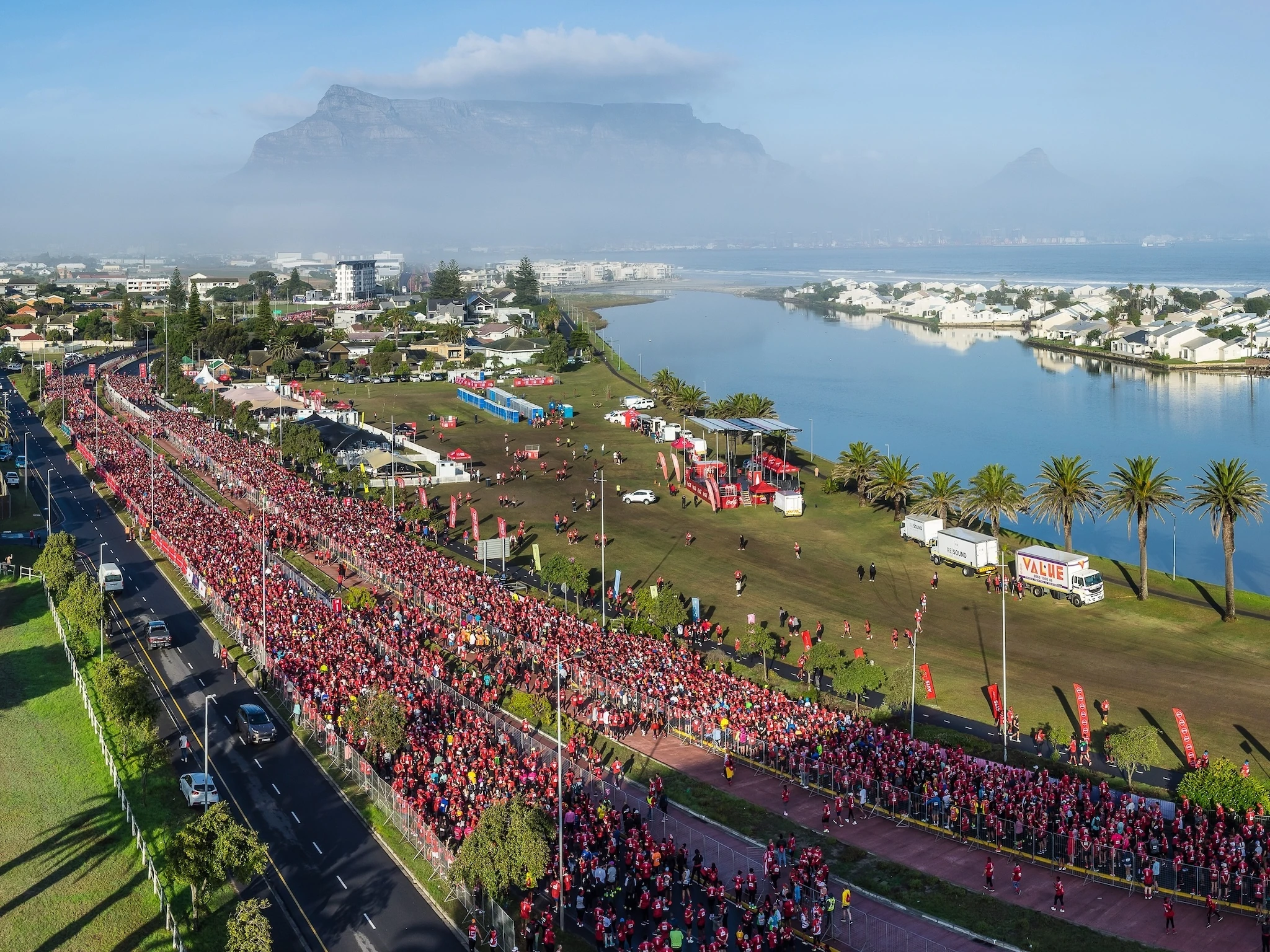
UPDATE: 4:20pm, Friday, 8 May - Run Your City 10K cancelled! Heavy rain, strong winds ahead: Yet another major sporting event has fallen foul of bad weather, as organisers prioritise safety.
The Cape Town Absa RUN YOUR CITY event set to take place on Sunday, 10 May, has officially been cancelled due to severe weather conditions and safety concerns linked to strong winds and heavy rains across the city.
Organisers announced the decision, stating it was made in the interest of runner, staff and spectator safety. Runners are being offered the choice between a full refund or a 'free' entry to the 2027 Absa RUN YOUR CITY 10k event.
"Following consultation with the relevant authorities and safety stakeholders, it is clear that proceeding with the event will place unnecessary risk on all involved. Aligning with Absa’s brand ethos of Your Story Matters, every runner entered this race with a personal goal, a purpose and months of preparation behind them."
Race Pack Collection at the Grand Parade will continue as planned:
This marks the second major race disruption in recent months, following the cancellation of the Sanlam Cape Town Marathon in October last year - also called off due to extreme weather conditions that posed safety risks along the route.
Further updates will be shared via official Absa RUN YOUR CITY Series channels.
The weather is set to turn cooler and cloudier on Saturday, with the prospect of heavy rain and strong winds arriving on Saturday night and persisting for most of the day on Sunday and into next week, according to the latest forecast by Weatherman Pete.
"The weather won't be suitable for picnics or garden parties, but those brave enough may find the Muizenberg surf conditions appealing. Small boats should not venture out onto the high seas, and heavy swells will also offer extra dangerous conditions.
"Avoid low-lying areas that are at risk of flooding, clear your gutters and drains and ensure that you and yours are safely protected from the storm. There are probabilities of some lightning and thunder as the rain and clouds pass over. The freezing level looks quite low, around 1000m, so the possibility of snow on the Boland Mountains is very real.
"The rain could persist until early on Wednesday with up to 50mm predicted over the period, so don't plan on visiting the snow this weekend, but sunnier days on Thursday and Friday should reveal some glimpses of the mountains.
"SPOILER ALERT – next weekend looks sunny! You can check the dam levels here."
Looking for something to do this weekend - Check out our latest Out and About in Cape Town Guide for the best things to do this weekend.
Sign up to Time Out's free newsletter for expert recommendations on new things to do, see, eat and drink in the Mother City. You can also follow Time Out Cape Town on Facebook, Instagramand TikTok!
Discover Time Out original video