[category]
[title]
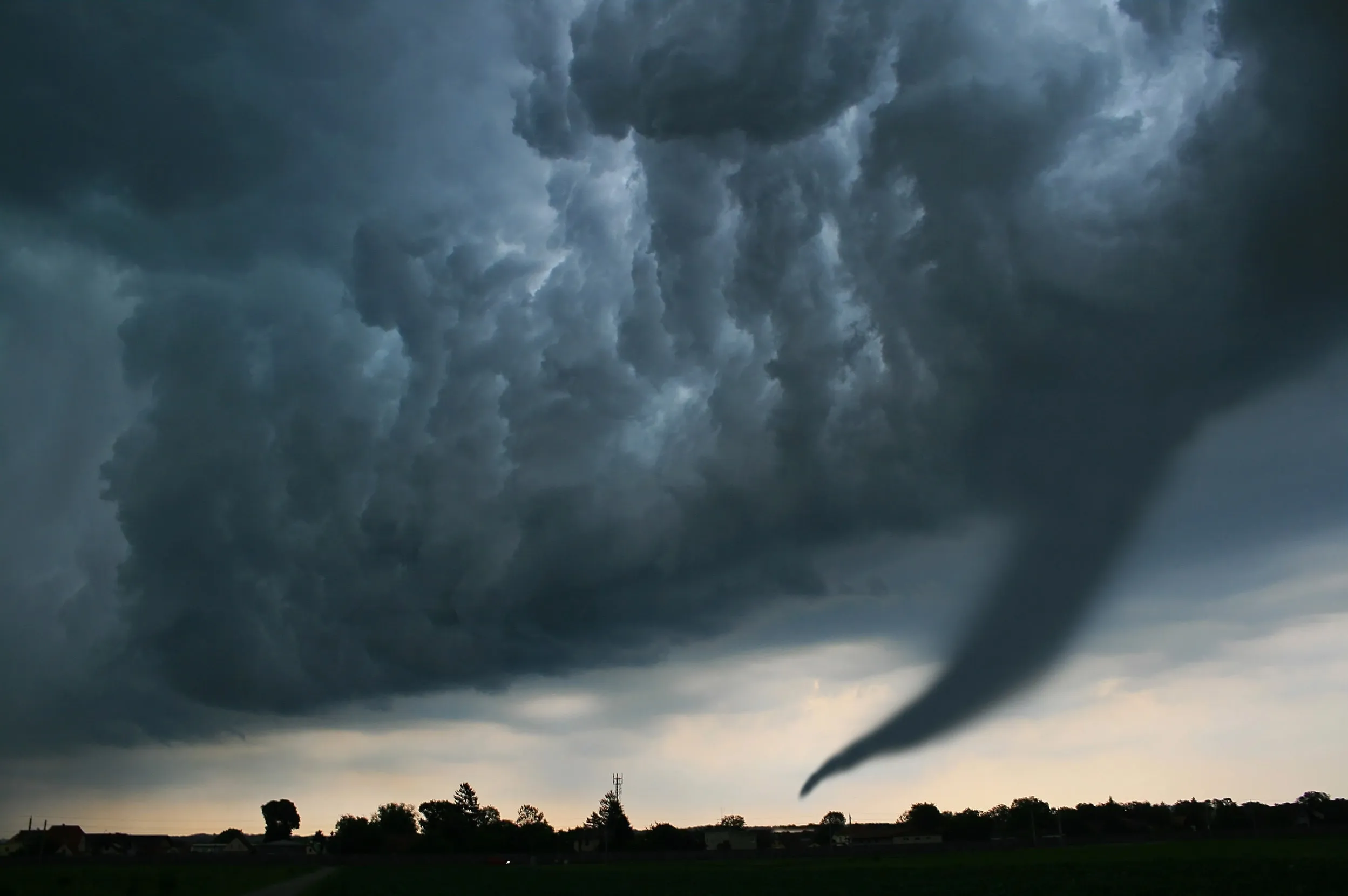
Severe weather threatens Quebec today with torrential rain, large hail, damaging 120 km/h winds and possible tornadoes.


A tornado watch has been issued for parts of Quebec as forecasters warn that conditions are becoming increasingly favourable for tornadoes, destructive winds, giant hail and torrential rainfall Tuesday afternoon and evening.
Residents are urged to closely monitor weather alerts, as conditions can change rapidly and the watch could be upgraded to a tornado warning if a tornado develops or is detected.
According to a report by The Weather Network, a high-impact severe weather outbreak could unfold across the St. Lawrence valley, with storms capable of producing 50 mm of rain in just a few hours, hail up to 4 centimetres in diameter, wind gusts reaching 110 to 120 km/h and isolated tornadoes, some of which could be strong.
Read: Canada could be next as America's explosive tornado season shifts in an alarming way
The areas most at risk include Montreal, Quebec City, Trois-Rivières, Gatineau, the St. Lawrence Valley, the Gaspé Peninsula, southern and eastern Quebec, parts of eastern Ontario—including Ottawa—and northern New Brunswick.
Check out: Best indoor things to do in Montreal when it rains
The report goes on to explain that a volatile combination of oppressive heat, high humidity and powerful upper-level winds is creating the ideal environment for severe thunderstorms to rapidly intensify.
As storms develop, deep atmospheric wind shear and increasing rotation are expected to significantly raise the risk of tornadoes.
At the same time, a strong jet stream will help fuel damaging thunderstorms capable of producing large hail, violent downbursts and destructive straight-line winds.
In parts of southern Quebec, dry air higher in the atmosphere could allow intense winds aloft to crash down to the surface, increasing the likelihood of widespread wind damage.
A sharp cold front is forecast to trigger thunderstorms north of the St. Lawrence River beginning around 2 p.m. ET, with storms reaching Trois-Rivières and Quebec City between 4 p.m. and 5 p.m. ET before strengthening further as they move southeast.
The most dangerous conditions are expected during the late afternoon and evening, when severe thunderstorms could sweep across Montreal, the Eastern Townships, the Gaspé Peninsula and northern New Brunswick.
Storms are expected to weaken overnight, with cooler, less humid air arriving on Wednesday.
If you're in an area under a tornado watch, review your emergency plan now and be prepared to seek shelter immediately if a warning is issued.
The safest place is a basement or a small interior room on the lowest floor of a sturdy building, away from windows.
If you're driving, avoid attempting to outrun a tornado and seek substantial shelter as quickly as possible.
For more information about the report from The Weather Network, click here.
RECOMMENDED:
Full guide to the best things to do in Montreal
Discover Time Out original video