
[category]
[title]
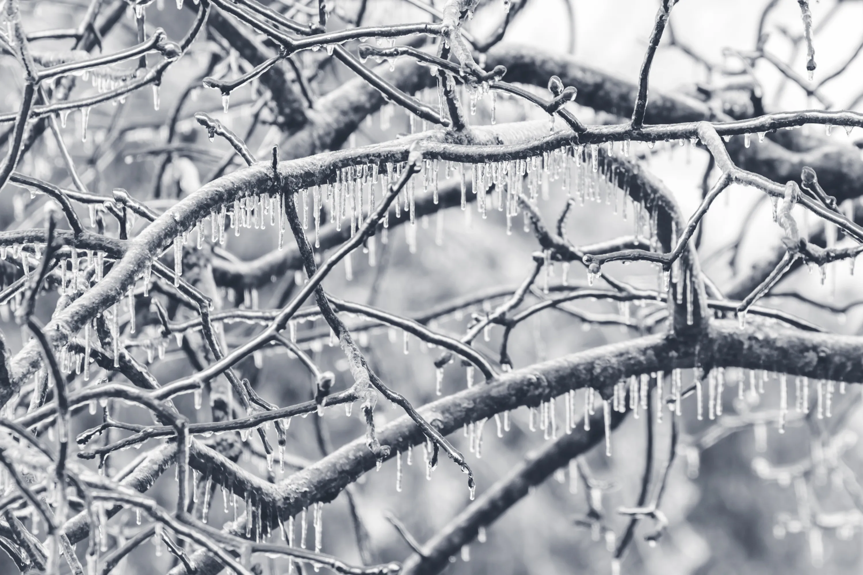
A prolonged period of freezing rain with ice pellets will likely result in prolonged utility outages.


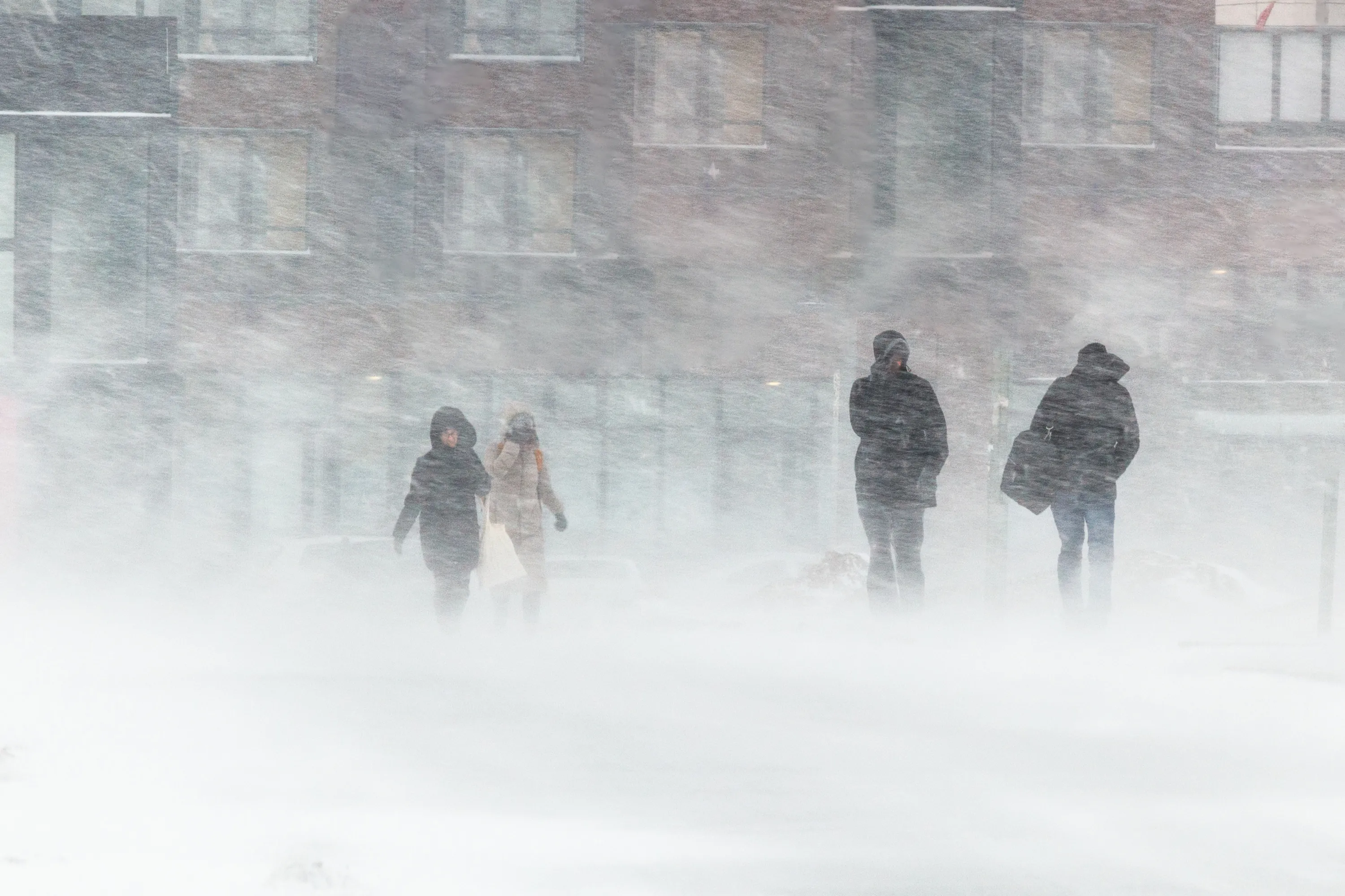
UPDATE December 29, 2025: More than 23,000 Quebecers are without power today, along with numerous road accidents. According to a report by MeteoMedia, road conditions in southern Quebec have rapidly deteriorated, creating icy, slippery surfaces and increasing the risk of accidents—even at low speeds. Drivers should slow down, maintain extra distance, and avoid sudden braking or steering, while remaining in their vehicle if stranded on highways. Freezing rain and ice are causing significant stress on the electrical network, with 5–15 mm expected across Montreal, Montérégie, Outaouais, Estrie, Laurentides, Lanaudière, and Mauricie, and gusts up to 70 km/h overnight. Snowfall of up to 50 cm is possible in northern regions.
A major freezing rain event is on its way to Montreal.
According to MétéoMédia, local areas initially forecasted to see mostly sleet will be facing significant ice accumulation.
With precipitation falling during very cold temperatures early Monday morning, all surfaces could be frozen — with ice building up on major roads.
Roads and walkways will likely become icy and slippery, and there may be a significant impact on rush hour traffic.
The special weather statement goes on to predict prolonged utility outages.
Read more: From -55º C to freezing rain: Canada slapped with extreme winter weather
Greater Montreal, Montérégie, the Laurentians, Lanaudière, and Mauriciehe Outaouais, and Estrie in this freezing rain and ice warning — with northern areas in Quebec facing a full-blown winter storm warning.
The freezing rain is set to begin Sunday evening in the Outaouais, moving toward Greater Montreal overnight, leaving roads dangerously slick by Monday morning.
Further north, heavy snow starting Sunday evening is likely to disrupt travel on Monday.
Following the freezing rain in southern Quebec, light snow showers will return as cold air moves back in, with expected accumulations of up to 5 cm in Montreal and the Outaouais, and 10–20 cm in the Capitale-Nationale region by Tuesday.
And it gets worse: plunging temperatures after the storm will only make roads and sidewalks even more treacherous.
The heaviest ice is expected farther south, in Montérégie and Estrie, with Montreal also at risk of being among the hardest-hit areas.
Across southern Quebec, up to 15 mm of ice is expected by the end of Monday.
For more information about Environment Canada's updates, click here.
RECOMMENDED:
Full guide to the best things to do in Montreal
Complete guide to the best restaurants in Montreal
Discover Time Out original video