[category]
[title]

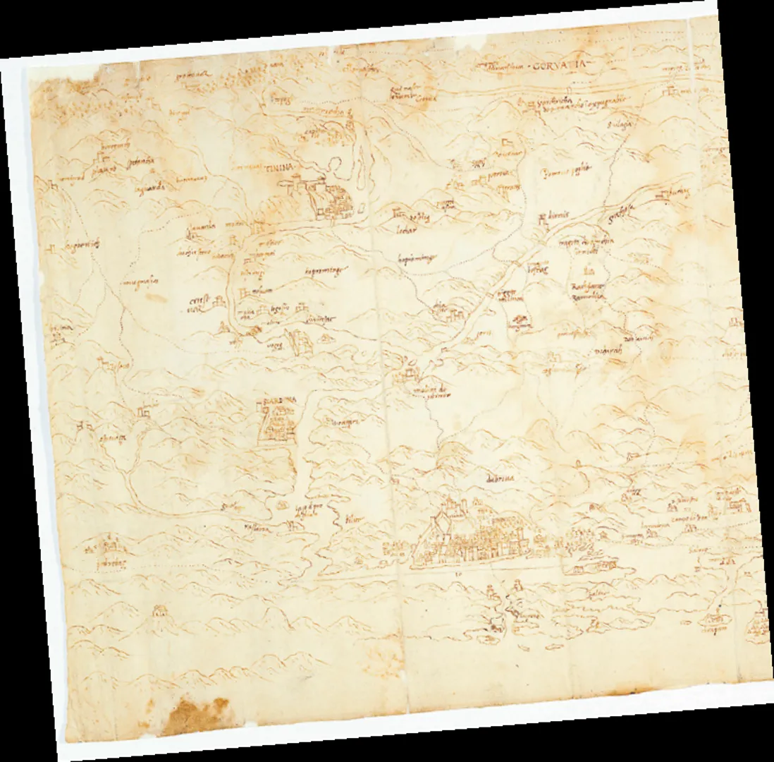
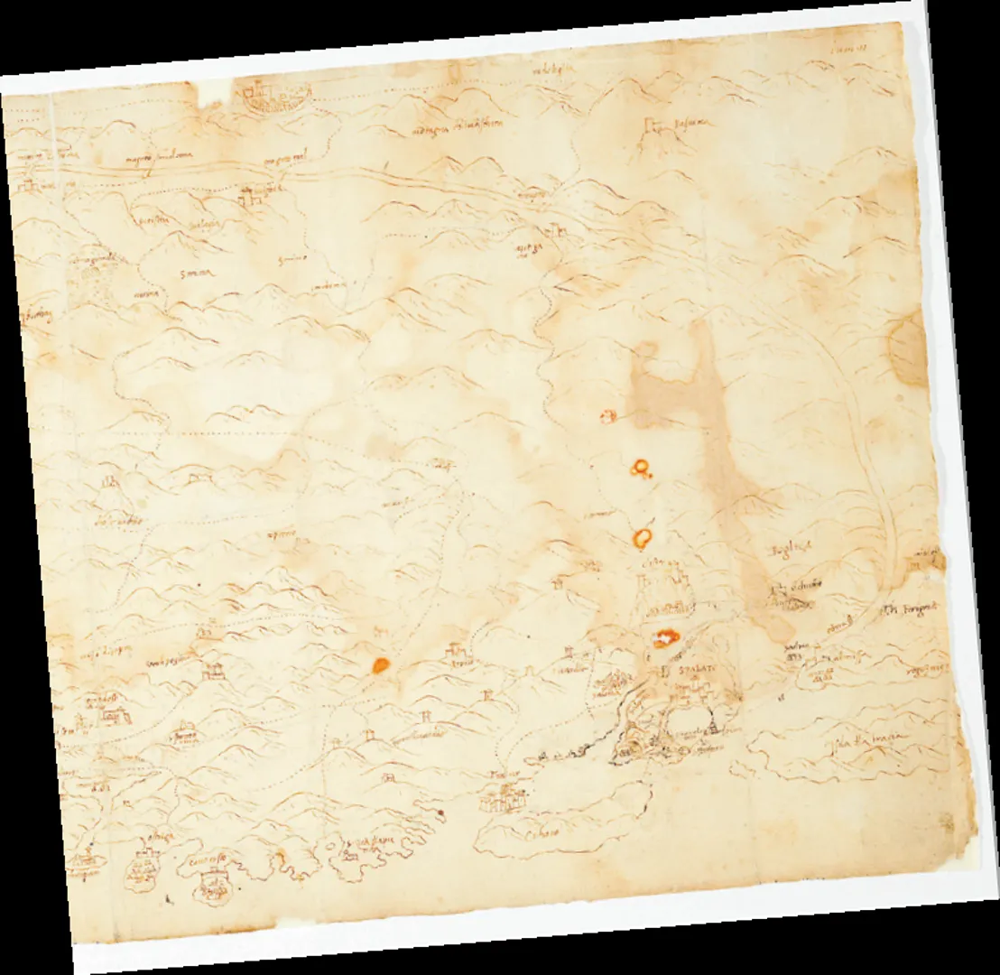
A map dating back to the very beginning of the 16th century has been found in the State Archives of Venice. The discovery sets a new precedent for the oldest known cartographic depiction of Croatia.
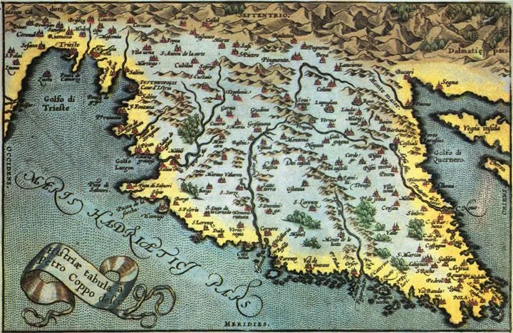
Until now, the oldest map showing a part of Croatia was considered that of Istria made in 1525 by geographer and cartographer Pietro Coppo, aka, Petar Kopić (Venice, 1470 – Izola, 1556).
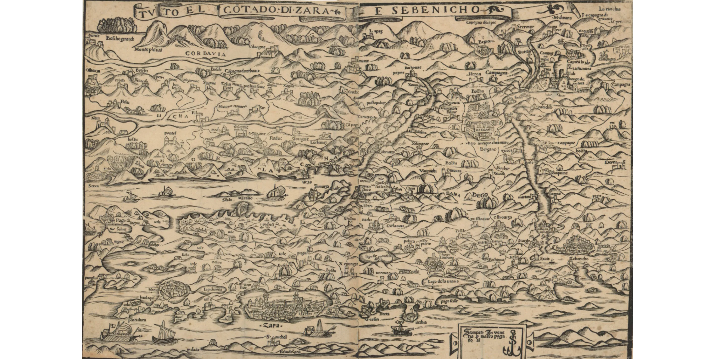
The second oldest were though to be a series of maps showing northern Dalmatia, Lika and Krbava by an unknown author. They were printed around 1530 by Venetian publisher Matteo Pagano.
An even older map has now been dug up in the State Archives of Venice. The Venice State Archives originally purchased the map from private collectors in the 1990s, but it remains unclear where the map was stored throughout the centuries. Upon its recent re-discovery, the map was researched in detail by University of Zadar historian Kristijan Juran and geographer Josip Faričić alongside historian Karen-edis Barzman of Binghamton University in New York. Their collective findings were published this month in Geoadria, a scholarly journal by the Croatian Geographical Society of Zadar and the University of Zadar's Department of Geography.
The newly discovered map is handwritten and shows the following parts of Croatia: central and northern Dalmatia, with a detailed depiction of the coast from Vodice to Omiš, and the Dalmatian hinterland, along with areas of Bosnia and Herzegovina. The map was created by an unknown author and it's rectangular in shape, measuring 29 × 60 cm. Because of the lack of clarity regarding its author and past, scientists conducted research using historical and geographical context and analyzing individual objects and toponyms shown.
Researchers believe the map to have been a highly confidential Venetian document. The map's date of creation has been set between 1505 and 1510. This means it was created just after the Second Venetian-Ottoman War of 1499-1503 - which the Ottomans won. The loss created a feeling of vulnerability in the Republic of Venice and so, detailed mapping was requested to ensure strategic knowledge. This map's purpose is clear: providing orientation for Venetian authorities and allowing planning of various activities such as reconnaissance and military actions. The fact that this map hasn't been mentioned in other sources (to our current knowledge) attests to the level of secrecy surrounding it.
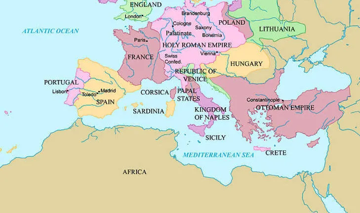
The areas shown on the map are at the crossroads of three giant political powers: Venetian-ruled Dalmatia, the Hungarian-aligned Croatian hinterland and the advancing Ottoman Empire. Cooperation between Venetian authorities in Dalmatia and Croatian nobility in the hinterland was necessary for both to defend themselves against the Ottomans. Venetians assisted in supplying Croatian forts and Croatian nobility provided soldiers; both sides working together to strengthen military and infrastructure.
The result of these joint efforts is this map, exceptionally rich in data because of efficient cooperation. The map's creator(s) remains anonymous, but it was clearly created as a result of extensive and systematic fieldwork. It displays settlements, forts, bridges, paths, mountain ranges, forests, rivers and even mills in great detail.
The map is a rich source for future scientific research because it shows locations of historic settlements and landmarks. Scientist from a variety of fields, from archeology to art history, will be able to use the map to pinpoint new explorations - especially into the under-researched Dalmatian hinterland.
A few examples of interesting discoveries revealed through the map:
This map is a generous source of data and will undoubtedly prove invaluable for the study of Croatian history at the turn of the 15th and 16th centuries. It shows a frozen moment of medieval Croatia, depicting the last strongholds of anti-Ottoman defense, noble's fortresses, ancient roads and river crossings that have been lost to time - until now.
See the map in more detail below.
Discover Time Out original video