[category]
[title]
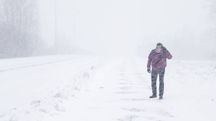
A strong weather system could drop up to 15 cm of snow in the southern part of Quebec.

UPDATE February 21, 2026: More flurries are projected for the southern part of the province this weekend, like a final reminder that winter isn’t quite ready to bow out. Although the snow stopped falling Saturday morning, the lull may be deceptive, with blowing snow making driving tricky throughout the day. Some regions could be treated to a snowy “take two” to start Sunday morning. Another weather system may hit southern Quebec at daybreak.
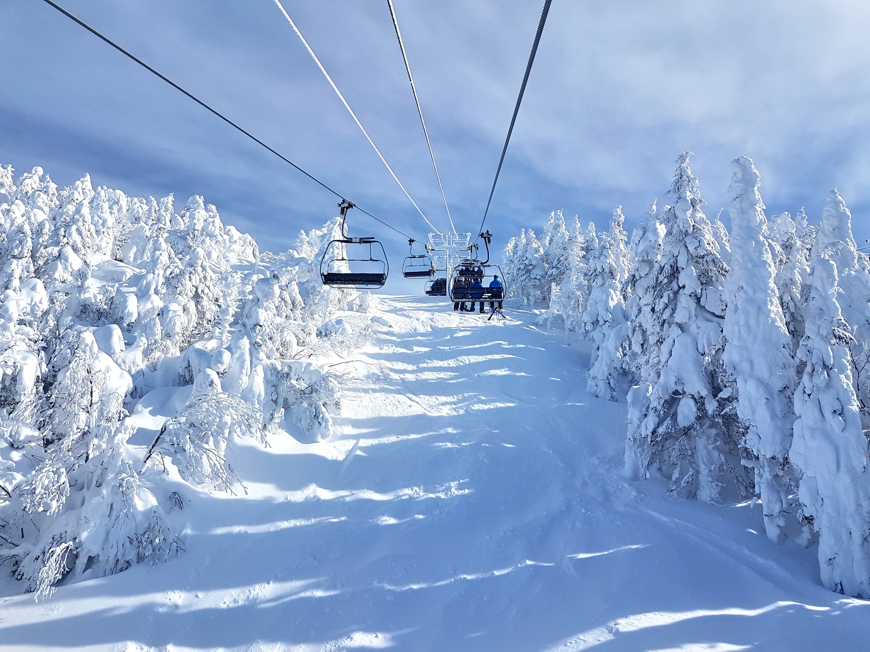
Skiers, rejoice.
Southern Quebec is right on the edge of the heavy weather system hitting the northern U.S.
According to a report by MeteoMedia, up to 15 cm of snow may be on its way to southern Quebec—especially near the U.S. border.
South of the border—specifically Vermont and New York—snow accumulations are expected to be significant, with up to 20 cm possible in the Adirondacks.
Read this: Where to find best Montreal skiing near the city
A similar situation is expected in Ontario, between Kingston and Cornwall.
Southern Quebec, however, sits right at the edge of the system hitting the northern U.S., and some areas could see up to 15 cm of snow, while others might get barely 5 cm.
The report details that one thing seems for sure: areas north of Montreal will largely escape the system, with (at most) 5 cm of snow forecast to hit the Laurentides and Lanaudière.
Montreal, Estrie, and the Outaouais could see between 5 and 10 cm by Sunday, while areas along the U.S. border accumulations may reach 15 cm.
The system is so fragmented that Lacolle could get 15 cm, while Sorel—just 100 km away—might see almost nothing.
If the system veers just a few kilometers south, Montreal could be mostly spared, receiving only a few centimetres.
The report urges Montrealers to keep monitoring the situation, and that the path will become clearer on Friday.
RECOMMENDED:
Complete guide to the best restaurants in Montreal
Best attractions in Montreal
Discover Time Out original video
