
[category]
[title]
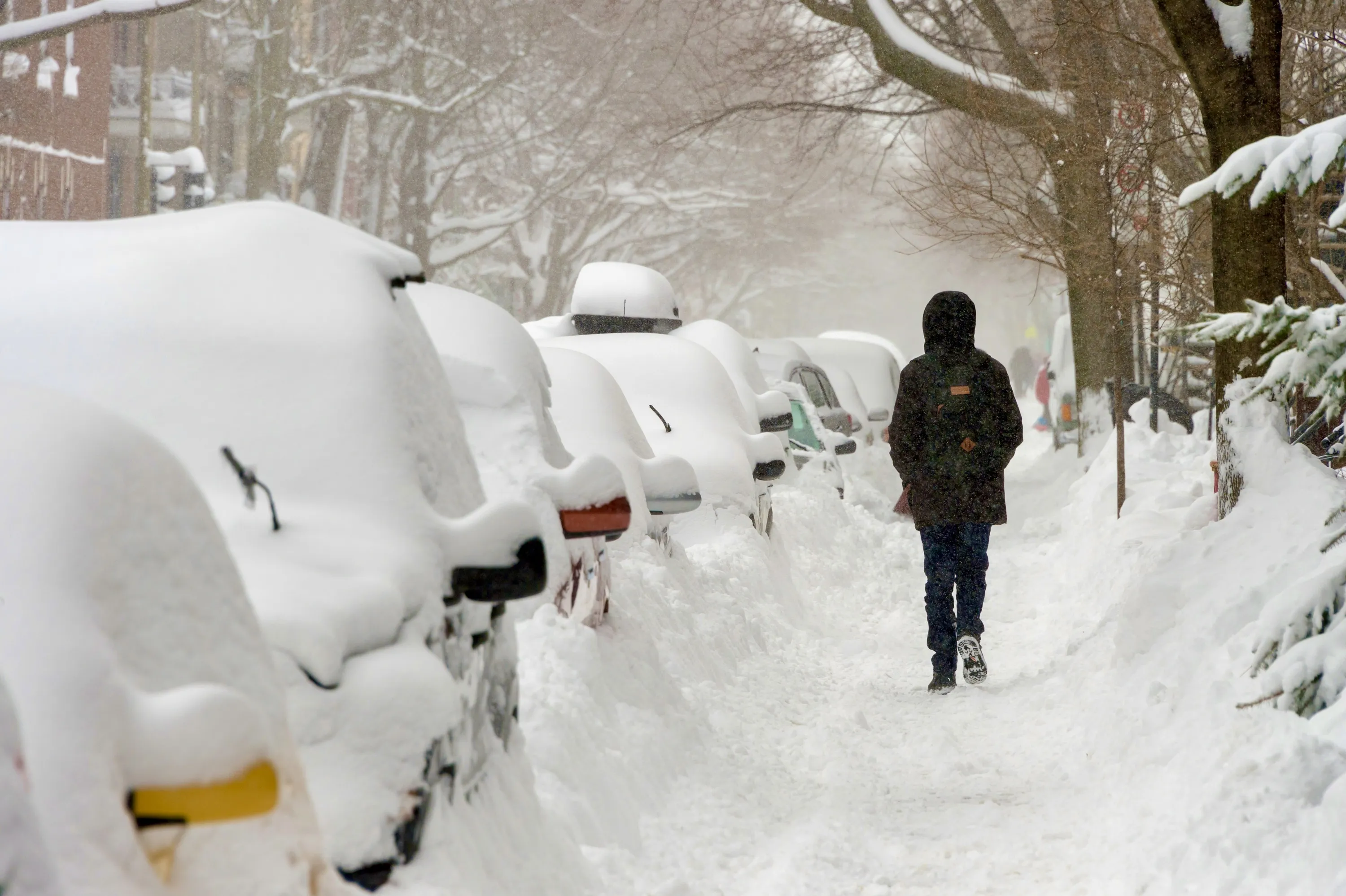
A massive, fast-moving storm system is barreling across Canada, leaving a trail of winter chaos from coast to coast.


A massive cross-Canada storm is set to hammer Québec with heavy snow, rain and rapid temperature swings.
And we haven't even talked about the rest of the country.
From soaking rain to whiteout snow and sudden deep freezes, this storm is a stark reminder that winter still has plenty of fight left.
We're talking about Montreal seeing a high of 6 °C on Friday, followed by a low of −14 °C on Sunday.
Read more: Will Montreal get a white Christmas?
Stretching almost 5,000 kilometres—from Quebec’s North Shore all the way to Vancouver Island—the sprawling low-pressure system has triggered weather alerts across nearly every province.
The weather system is delivering everything from blizzard conditions to torrential rain and abrupt temperature swings, according to the most recent Weather Network update.
Western Quebec is bracing for a significant snowfall, with 20 to 40 cm expected by Thursday.
Farther south, winter briefly loosens its grip as milder air pushes in, bringing heavy rain Thursday night into Friday.
That reprieve will be short-lived: colder air surges back Friday evening, flipping rain to snow as the storm pulls away.
Next in line is Ontario, where the system splits the province in two. Northern Ontario is facing a prolonged snowfall event, with 20 to 40 cm accumulating from Wednesday afternoon through Friday.
Southern regions stay deceptively mild under a warm front, with temperatures climbing 5 to 7 degrees above normal—just enough to fuel heavy rain on Thursday. As the cold front barrels through Thursday night, icy conditions could develop before lake-effect snow ramps up again on Friday.
By Friday, the storm reaches its final destination in Atlantic Canada, capping off a cross-country weather event that has left few regions untouched.
After crossing the Rockies, the storm rapidly reorganizes into a powerful Alberta clipper. From Wednesday into early Thursday, the Prairies could see 10 to 30 cm of snow, whipped by winds gusting 80 to over 100 km/h.
Blizzard conditions are possible from Grande Prairie to Winnipeg. In its wake, an intense Arctic blast will send temperatures plunging by as much as 30 degrees, with dangerously cold wind chills.
The system’s origins trace back to central B.C., where it brought widespread rain to the South Coast and heavy snow to higher elevations. As freezing levels drop near 1,000 metres, ski hills like Grouse and Cypress could wake up to fresh snow.
For more information about Environment Canada's updates, click here.
RECOMMENDED:
Full guide to the best things to do in Montreal
Complete guide to the best restaurants in Montreal
Discover Time Out original video