
[category]
[title]
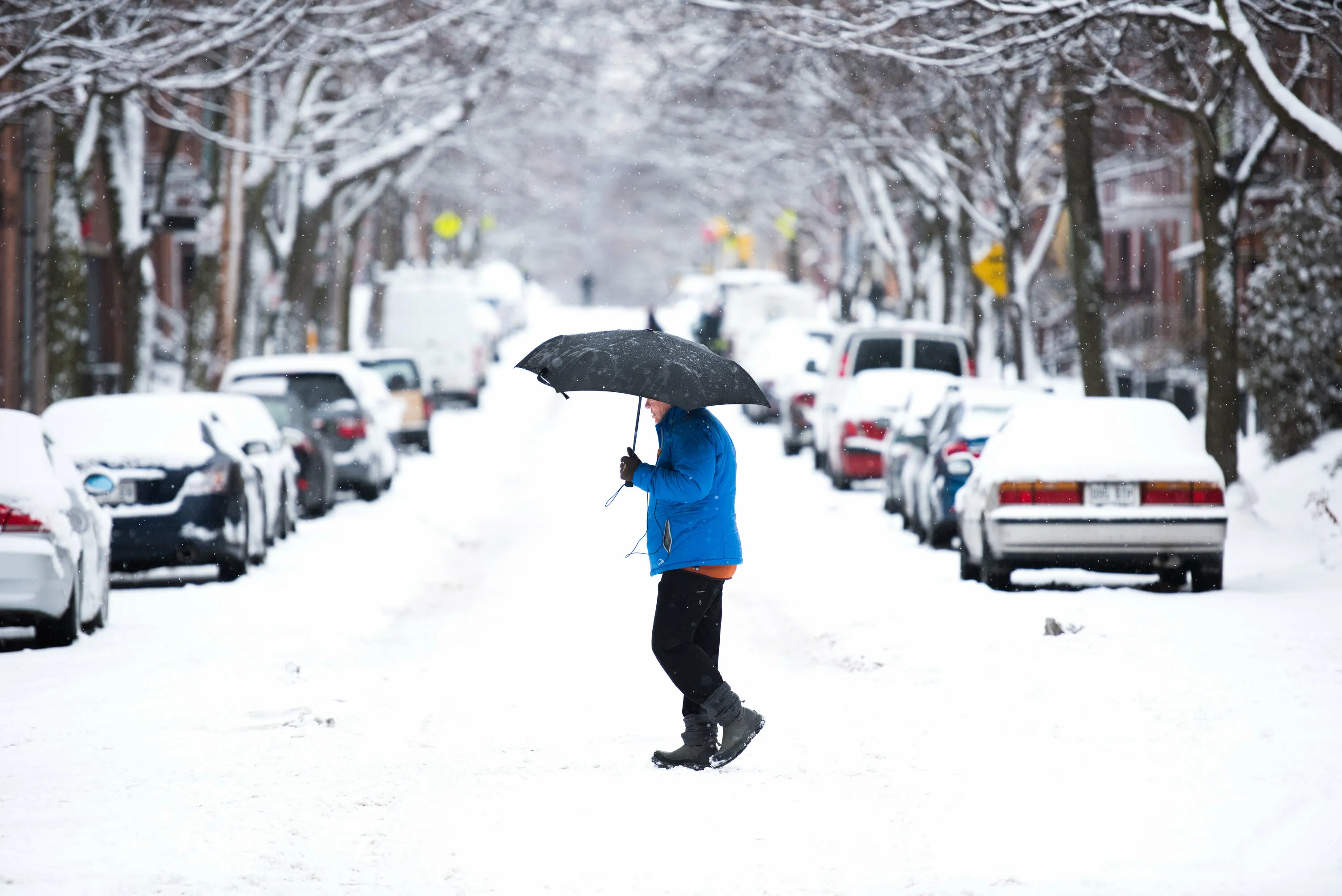
Montreal could see its first snowfall of the season this week as colder temperatures and snow-producing systems move into Quebec.


Southern Québec is seeing some flakes.
According to a report by MéteoMedia, a series of low-pressure systems is set to create the right conditions for almost the entire province to check its first snowfall of the season off the weather calendar.
The forecast for the week ahead? Mostly grey skies, with the possibility of the white stuff in some areas.
Quebec is essentially in a pattern of successive low-pressure systems and clippers: the first arrived Sunday, followed by a clipper (a fast-moving weather system bringing precipitation) on Tuesday.
Read more: A rapidly strengthening Super El Niño to reshape Canada's weather this fall and winter
On Sunday morning, some areas saw their first snow-covered or partially snow-covered roads of the season, particularly in the Eastern Townships, resulting in more challenging driving conditions in places.
A small system is then expected to bring possible snow showers from Sunday into Monday across the Saguenay–Lac-Saint-Jean, Côte-Nord, Bas-Saint-Laurent and Gaspésie regions.
Those regions have already seen their first snowfall of the season, so the forecast may not come as much of a surprise to residents. But the weather pattern taking shape for the rest of the week could bring a few surprises elsewhere in Québec.
With temperatures expected to drop from Thursday onward, areas farther south—including Greater Montréal—could finally see their first snowflakes of the season.
So, when should you be watching the forecast? On Tuesday, another clipper system could bring snow to areas north of the St. Lawrence River.
In southern Québec, however, precipitation is expected to fall as rain.
The bigger question is what happens from Thursday through Saturday, when a larger weather system could move into the region, bringing the season’s first snowfall to southern Québec.
Snow could reach nearly every corner of the province this week, although the St. Lawrence Valley may be spared. Still, a few flakes are always possible—even if they don't stick around for long.
For Montréal and Gatineau, that could mean finally recording their first winter precipitation of 2026, nearly two weeks later than the seasonal average.
Check out: Tremblant is adding eight new ski trails—and a brand-new high-speed chairlift
Sherbrooke, meanwhile, already saw its first snowfall on the morning of November 8.
Ready or not, it might be time to dig out the shovel.
For more information about the report by MéteoMedia, click here.
RECOMMENDED:
Where to find best Montreal skiing near the city
Full guide to the best things to do in Montreal
Discover Time Out original video