[category]
[title]
The weather phenomenon will likely impact snowfall and temperatures in the Midwest and beyond, according to the National Weather Service’s Climate Prediction Center.

Trying to predict Chicago’s weather is about as fruitful as guessing if any of our sports teams will have a winning season—no matter the number crunching or the optimism, it’s usually a lost cause. But damn the torpedoes—the National Weather Service is charging in with a fresh batch of Midwest weather predictions. La Niña has arrived, and meteorologists have some thoughts about it.
According to the National Weather Service’s Climate Prediction Center, La Niña conditions have emerged in the Eastern Pacific Ocean. While the “cool phase” of the El Niño-Southern Oscillation climate pattern may be brewing half a world away, there are some real deal implications for Chicagoans. Here’s everything you need to know about La Niña and what it means for Chicago’s winter.
RECOMMENDED: This map can tell you when fall foliage will peak in Chicago
La Niña is part of the El Niño-Southern Oscillation (ENSO) climate pattern, during which a band of the Pacific Ocean—just along the equator—cools to a temperature lower than average due to trade winds nudging warm water westward. As a result, a cool pocket of air forms and initiates a domino effect: cold air begets shifting jet stream patterns begets storm tracks slicing through the northern U.S. and Great Lakes region.
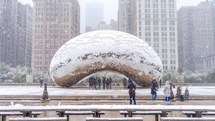
According to the National Weather Service, the upper Midwest and Great Lakes tend to experience above-average snowfall during La Niña years. (Cue the collective groaning.) In the past, La Niña has spawned disastrous weather in Chicago: Longtime Chicagoans may recall the Groundhog Day blizzard of 2011—colloquially known as “Snowmaggedon”—which yielded over 20 inches of snow, extreme whiteout conditions and treacherous high winds.
As for 2025’s winter weather prediction? The experts at the National Weather Service expect the current La Niña pattern to remain weak, but this could change as quickly as a Cubs fan’s hope in October. The stronger La Niña becomes, the more likely Chicago will experience significant snowfall this winter. We’re in for a long haul, too: La Niña is projected to stew until February 2026, so steel thyself for another humbling Midwest winter.
Wannabe Tom Skillings and self-appointed storm trackers often conflate La Niña and El Niño. And, yes, they do bear some similarities: Both El Niño and La Niña are Pacific Ocean-based climate patterns that impact the weather on a global scale. Think of the two phenomena as two sides of the same forecasting coin: El Niño ushers in warmer-than-average sea surface temperatures—mainly in the central and eastern Pacific Ocean—bringing dry and mild weather to the Northern U.S., more rain to the Gulf Coast and a quieter Atlantic hurricane season. La Niña, on the other hand, brings cooler-than-average surface temperatures to that same band of the Pacific, often resulting in colder, snowier winters in the Northern U.S., dry conditions in the South and a stormier hurricane season.
Discover Time Out original video