
[category]
[title]
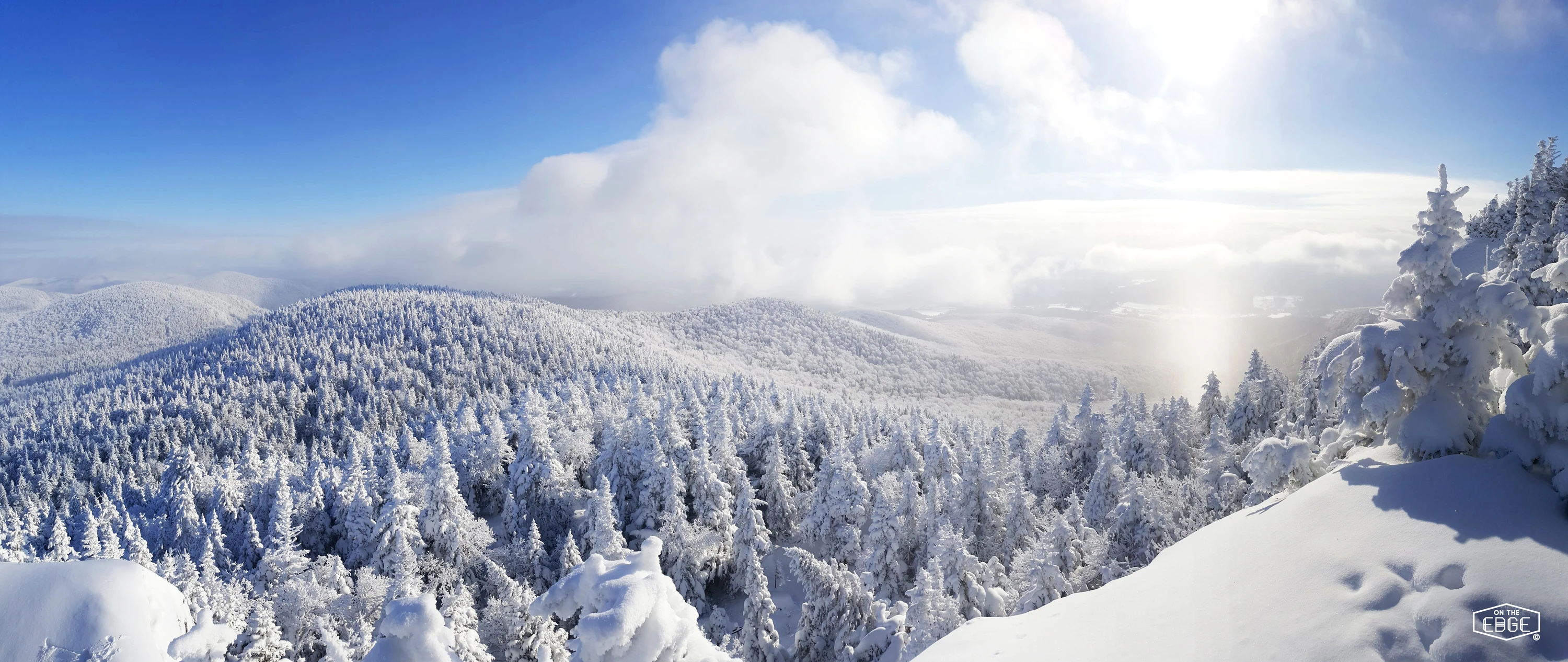
A collision of storm systems and a blast of cold air could bring significant snowfall to Quebec: here are the regions in the firing line.


Winter is arriving early in Quebec.
According to a report by MétéMédia, a weather system moving across the province this weekend could dump up to 20 cm of snow in some areas—particularly in mountainous regions and higher elevations.
Several regions are predicted to get a serious preview of winter, with locally significant snowfall.
Read: Tremblant is adding eight new ski trails—and a brand-new high-speed chairlift
Among the areas most likely to be affected are the Laurentides Wildlife Reserve, between Quebec City and Saguenay; inland areas of the Bas-Saint-Laurent and Gaspésie regions; and northern Quebec.
A similar scenario could unfold along the North Shore of the St. Lawrence River, particularly between Baie-Comeau and Sept-Îles.
Farther south, light snow showers could reach elevated areas of the Eastern Townships and Beauce, near the U.S. border, as well as parts of the Laurentians and Mauricie.
Check out: Quebec winter forecast 2026–2027: brace for heavy snow and wild weather swings
It’s still too early to pin down exact snowfall totals, but some areas could see as much as 20 cm. That would exceed the 15 cm threshold MétéoMédia uses to classify an event as a significant snowfall.
Montreal typically sees its first frozen precipitation around October 27. The good news? The city is expected to largely dodge this early taste of winter, according to the latest weather model forecasts. A few snowflakes could still fall in the northern reaches of Greater Montreal, particularly around Saint-Jérôme and areas farther north.
Read more: Where to find the best skiing in and around Montreal
The early taste of winter is being driven by a combination of cold air and two incoming storm systems.
A trough bringing a mass of cold air is expected to move into Quebec on Friday and linger throughout the weekend, sending temperatures plunging.
At the same time, two low-pressure systems—one arriving from Ontario and the other from the southern United States—are expected to merge before moving across the province starting Friday.
The result could be a dramatic mix of weather conditions: significant precipitation, including periods of heavy rain across much of southern Quebec, alongside snowfall in colder areas and at higher elevations.
RECOMMENDED:
Full guide to the best things to do in Montreal
Best ice skating in Montreal this winter
Discover Time Out original video