
[category]
[title]
A wind warning has been issued, cautioning strong damaging winds — but that’s not all.


Environment Canada has issued a yellow weather warning, effective Friday morning.
But that’s not the worst of it.
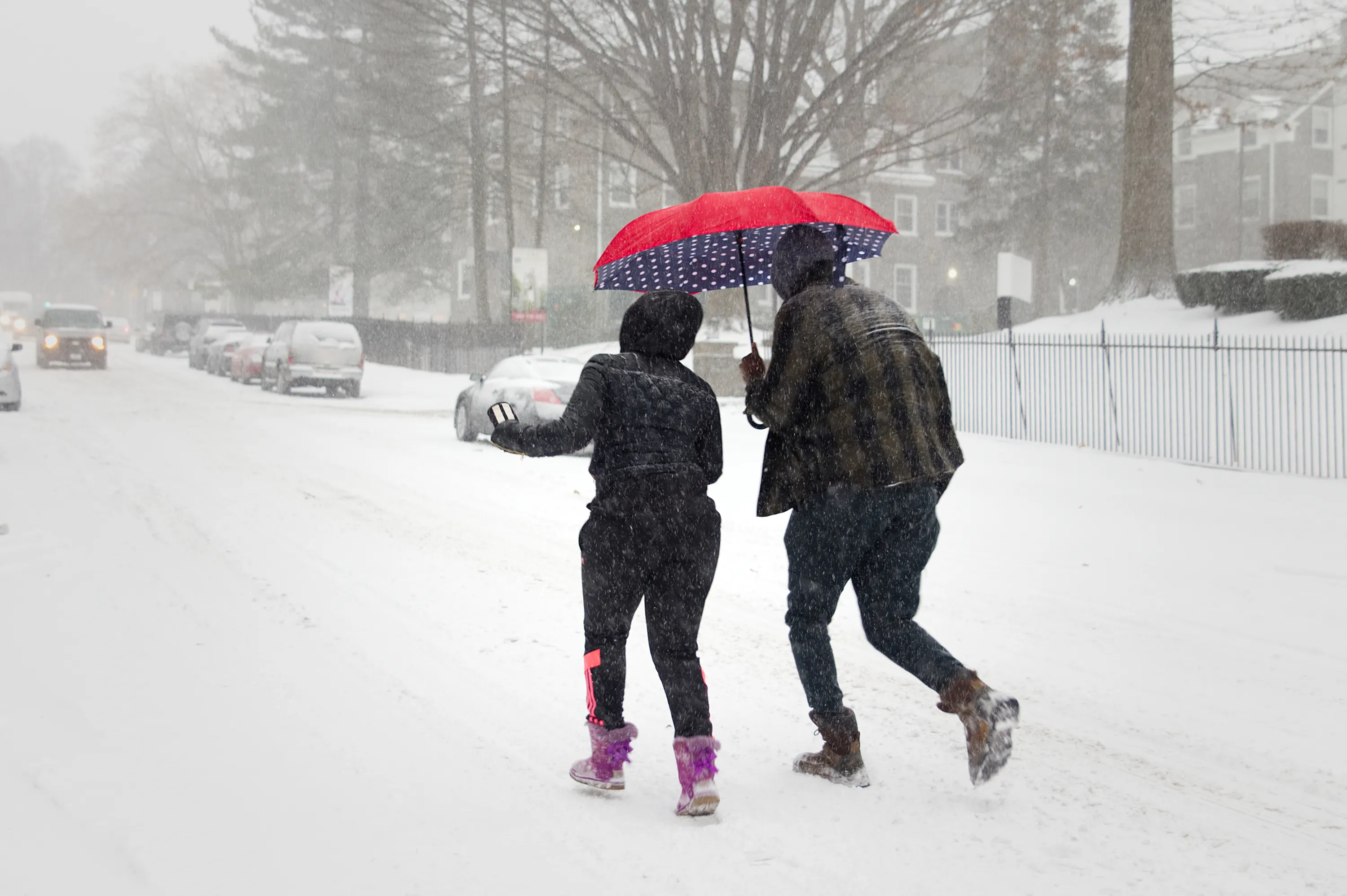
Several weather factors are coming together to fuel the formation of a full-blown weather bomb.
According to MeteoMedia, strong winds causing damage are expected, with southwesterly gusts reaching up to 100 km per hour.
The strongest winds will prevail Friday afternoon and evening in the Greater Montreal Area, Drummondville and Bois-Francs and gradually ease into Saturday morning.
Local utility outages are possible, and warnings issued to secure loose objects.
Also on the way: 60 millimetres of rain across Southern Quebec. And that’s not all.
Read more: Will Montreal get a white Christmas?
After the weather system passes, a surge of polar air will bring a rapid drop in temperatures.
With rain and melting snow, roads and sidewalks could quickly become icy and extremely slippery.
Drivers will need to exercise extra caution, and pedestrians may need to dig out their crampons.
All of these conditions combine to create the perfect recipe for a weather bomb.
The cold season brings more than icy temperatures—it’s the prime time for megastorms, often called “weather bombs.”
These explosive systems are among the most powerful storms observed at mid-latitudes, and understanding them starts with the numbers: a pressure drop of 24 hPa in 24 hours—or less—qualifies a storm as a “bomb.”
Megastorms are a hallmark of winter, forming between October and April where north-south temperature contrasts are strongest.
Like tropical storms, they unleash ferocious winds, torrential rain, or heavy snowfall. In North America, the U.S. East Coast and Eastern Canada feel the brunt, with eastern Quebec and the Maritimes particularly vulnerable—and occasionally, southern Quebec too.
The drama begins when Arctic air surges south and warm southern air pushes north.
The collision of these two air masses can turn deadly—but the real spark comes from the jet stream. Positioned just right above a low-pressure system, it siphons air from the surface like a giant vacuum, intensifying the storm in record time.
The combination of rapidly dropping pressure and gusting winds creates the explosive “bomb” effect.
For more information about Environment Canada's updates, click here.
RECOMMENDED:
Full guide to the best things to do in Montreal
Complete guide to the best restaurants in Montreal
Discover Time Out original video