[category]
[title]
Time to pull out the heavy coats. A cold front is moving in.

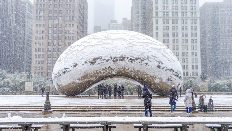
Bundle up, Chicago: winter is rolling in right on schedule. After a stretch of unseasonably mild November weather, the city is bracing for its first real taste of snow this weekend as a cold Canadian air mass sweeps into the Great Lakes region.
Friday will start out pleasant, with partly sunny skies and highs in the 50s and even low 60s. But by late Friday night, temperatures will dip into the 40s, setting the stage for a sharp cool-down. Saturday brings clouds thickening through the day, temperatures hovering in the 40s and by evening, rain pushing in from the south and west.
According to forecasters, that rain is expected to mix with, and eventually change to, wet snow between 8 and 10pm on Saturday night as temperatures slide into the 30s. Some slushy accumulation could develop overnight. By early Sunday, a few spots near Lake Michigan could even see some lake-effect snow.
Don’t expect much to stick, but it’ll feel every bit like winter. Highs Sunday will struggle to hit the upper 30s, with wind chills in the teens and 20s. Overnight lows will bring Chicago O’Hare its first freeze of the season, more than two weeks later than average. Monday looks equally brisk, with a high around 37 degrees and another round of lake-effect flurries possible before the cold eases midweek.
If it feels like winter’s showing up right on time, that’s because it is. Chicago typically sees its first trace of snow around October 31 and its first measurable snowfall (at least 0.1 inch) around November 18. The city typically doesn’t get an inch or more until early December. Last year, Chicago’s first trace came on November 20, so we’re just about in line with the usual rhythm.
Looking beyond this weekend, meteorological winter officially begins December 1, running through the end of February. The National Oceanic and Atmospheric Administration’s (NOAA) newly released Winter Outlook for 2025–2026 suggests a typical La Niña setup. That means the jet stream could steer more storm systems toward the Upper Midwest, boosting our chances for above-average precipitation. In other words, a potentially snowier season.
Temperature-wise, NOAA gives Chicago “equal chances” for above or below normal readings, so expect plenty of swings. Average highs range from 41 degrees in early December to 31 degrees by mid-January, then climb back toward 41 degrees by late February.
So while this weekend’s snow might just dust the grass, it’s a reminder that winter is coming, coats aren’t optional and the city is about to trade pumpkin spice for salt trucks.
Discover Time Out original video