[category]
[title]

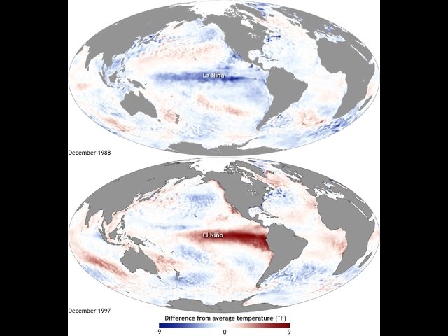
Over the past few months we've been repeatedly warned to prepare for the largest El Niño on record and its potential to wreak even more havoc than the catastrophic storms of 1997-98, which caused more than half a billion dollars in damage in California.
By mid-December, reports said we should start taking cover as the storms rolled in. And, well, it's mid-December. So where are the torrential downpours? Wasn't this storm supposed to be "too big to fail?" Was that all just a bunch of hype?
Well, maybe. But right now it's too close to call. The National Weather Service posted a video earlier this week explaining that while El Niño is expected to arrive eventually, it's running "behind schedule."
In the video they chart past El Niños to show how this year's compares. While the cumulative rainfall has certainly flatlined so far this month, the graph shows that the bulk of the rain usually occurs between February and May. December is typically rainy (or at least rainier than it has been this year), followed by a dry January before the big storms begin to kick in.
The National Weather Service is still adamantly advising people in Southern California to prepare for the storm. The video outlines that the storms can cause wind damage, power outages and flooding in urban areas and along the coast in rivers and beaches. So while you might start to feel like you can relax, go on that camping trip, bike by the river, go for a hike in the hills, stay prepared and pay close attention over the next few months.
Discover Time Out original video