[title]
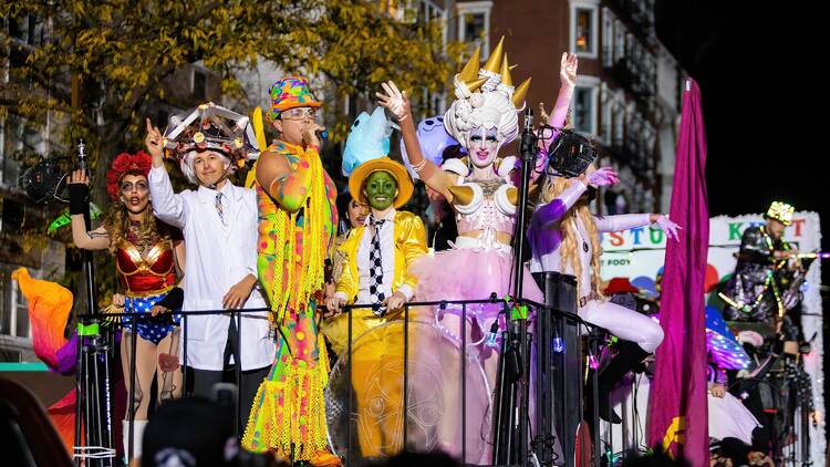
This week's forecast is pretty frightful but, thank goodness, Halloween night looks clear. After a sunny, crisp start, New York City’s weather will take a turn for the dramatic midweek, with a storm barreling up the coast just in time to soak the city on Thursday.
According to the National Weather Service, the system will bring one to two inches of rain, gusts up to 40 miles per hour and the potential for minor flooding in poor drainage areas and along the coast during Thursday night’s high tide. The heaviest rainfall is expected from midday Thursday into the evening, making for a soggy commute and likely wiping out any early costume parades.
AccuWeather’s senior meteorologist Bob Larson told SILive that, while not technically a Nor’easter, “the effect [of the storm] could be about the same because of the rain and wind and whatnot.” Larson added that it would be a good idea to secure any lingering outdoor furniture.
The good news? Conditions are expected to improve just in time for trick-or-treaters. While a few leftover showers could linger early Friday, skies should clear by the afternoon, leaving the evening mostly dry, if breezy. Temperatures will hover in the mid-50s, a stark contrast to last year’s record-tying 81 degrees, which made for one of the warmest Halloweens on record.
Meteorologists have noted that the storm’s slow crawl up the Appalachians could still tweak the timing, but current models show it moving out before candy hour. That means New Yorkers may just trade umbrellas for puffer jackets this Halloween.
After the storm passes, the weekend looks like classic November-in-waiting weather: crisp, cool and finally dry. So if your costume involves wings, wigs or face paint, you’re in luck: the only thing threatening to melt by Friday night should be the chocolate.

