[category]
[title]
The upcoming 2026-2027 El Niño is predicted to be the strongest in a century – here's what that means for NSW


As if 2026 hasn’t already been wild enough, we’ve just been informed that there’s more in store – this time coming courtesy of Mother Nature. While the Bureau of Meteorology (BoM) has officially confirmed the 2025-26 La Niña is over, an explosive new climate pattern is brewing in the Pacific – and it’s set to disrupt weather patterns across the globe.
Forecasters are sounding the alarm on a ‘Super El Niño’ that could rank as one of the most powerful in a century – but should Sydneysiders be concerned? Here's everything we know so far.
El Niño is a naturally occurring climate pattern that typically lasts between nine and 12 months. It’s driven by warmer-than-average sea-surface temperatures in the eastern Pacific Ocean, which triggers a weakening of trade winds and a shift in atmospheric circulation. In Australia, this results in hotter temperatures (and more heatwaves), plus a heightened risk of drought and bushfires.
These events occur every two to seven years, with Australia’s most recent El Niño during the 2023-24 summer. However, it’s the 2018–19 event that remains most vivid in our memory, which led to the Black Summer bushfires.
A super El Niño is an exceptionally powerful phase of the El Niño–Southern Oscillation (ENSO), marked by sea surface temperatures in the eastern Pacific rising at least two degrees above normal.
This rare phenomenon occurs roughly once a decade or so, unleashing a global chain reaction in the atmosphere. The result? Potentially record-breaking heat leading to severe droughts and bushfires, punctuated by volatile storms.
It’s predicted that the super El Niño will develop in late winter or early spring, with impacts rippling across the planet well into 2027.
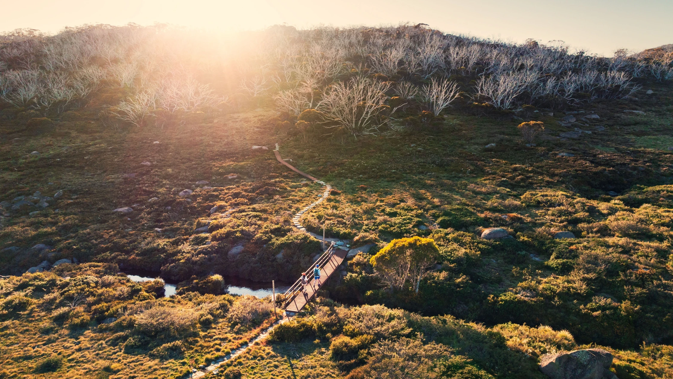
While the intensity and impact of the super El Niño is difficult to pin down this early, we can predict what may happen based on past events. The most significant impact to brace for is a major reduction in rainfall across eastern and northern Australia, which could lead to severe droughts and a shorter, leaner snow season for NSW’s ski resorts. In summer, we can expect more individual days of extreme heat (more than 40 degrees), with prolonged heat waves and heightened fire danger. In the Top End and Queensland, this cycle typically delays the monsoon and reduces tropical cyclone activity.
Discover Time Out original video