[category]
[title]
Australia's Bureau of Meteorology (BoM) is yet to declare La Niña here – this is everything we know so far about weather patterns for summer 2025


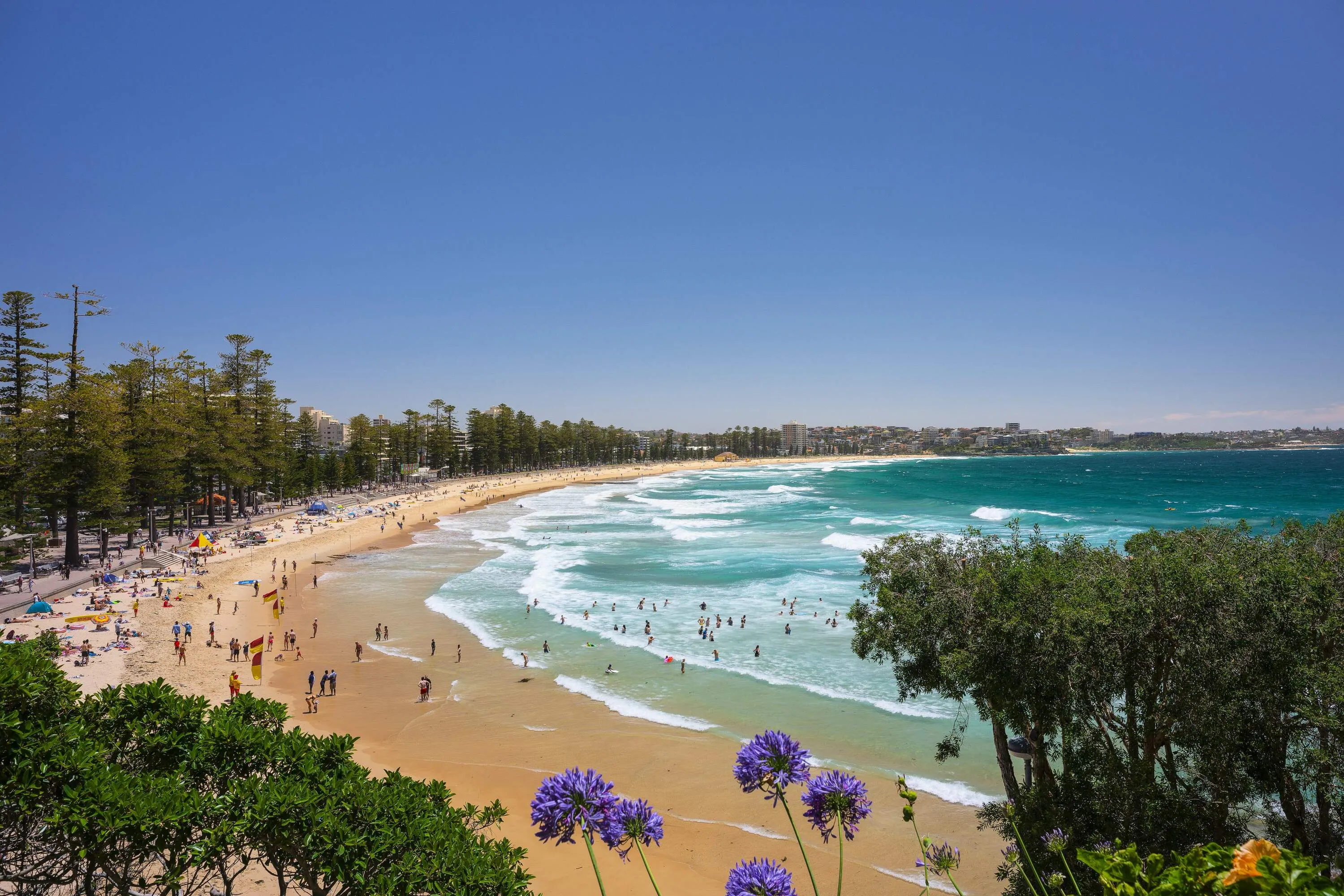
Spring has well and truly arrived in Sydney, and if the past few weeks are anything to go by, we’d be pretty confident in predicting an epic summer ahead. But if you thought summer was going to be all beach days and sun-soaked Spritzes at rooftop bars, La Niña might have other plans. This month, the US Climate Prediction Center (CPC) declared that a La Niña event is officially underway, with the cool, rainy phase expected to stick around until early next year. While it’s probably not the news anyone was hoping for, it’s not all doom and gloom Down Under. Australia's Bureau of Meteorology (BoM) is yet to declare La Niña here – this is everything we know so far.
La Niña is one of three phases of the El Niño-Southern Oscillation (ENSO) climate cycle. It happens when stronger-than-usual trade winds push warm water westward across the Pacific Ocean, leaving cooler-than-average waters along the equator. The result? Wetter weather, more cloud cover and a greater chance of storms across Australia.
Australia experienced three consecutive La Niña years – from late 2020 through to early 2023 – which is pretty rare (only the fourth “triple-dip” since records began). This led to record-breaking rainfall and cooler temperatures across much of the East Coast, with widespread flooding in parts of QLD and NSW. However, Australia has been in a neutral climate phase since then.
On October 9, the US Climate Prediction Center (CPC) issued an alert confirming that La Niña conditions are present and expected to persist through December 2025 to February 2026. They currently estimate a 55 per cent chance that conditions will return to neutral between January and March next year.
In Australia, however, the Bureau of Meteorology (BoM) has yet to declare La Niña, noting that the climate pattern remains in a neutral phase. Why the difference? The CPC’s criteria for La Niña require sea surface temperatures in the central equatorial Pacific to be at least 0.5°C below average for a minimum of three consecutive months, accompanied by clear atmospheric changes above the tropical Pacific. Meanwhile, the BoM requires more intense and prolonged ocean cooling before declaring a La Niña event.
According to the BoM’s current model, the Pacific might briefly reach La Niña levels during spring but is expected to return to neutral by summer. In short, if La Niña does develop in Australia, it’s likely to be weak and short-lived.
If La Niña is declared in Australia, it would likely bring a higher chance of wetter-than-average conditions over summer. Other climate factors are expected to come into play too, including a negative Indian Ocean Dipole – which alone is expected to produce wetter-than-average conditions – and unusually warm sea surface temperatures.
La Niña and El Niño are opposite phases of the same climate cycle. La Niña brings cooler Pacific waters, usually causing wetter, stormier conditions in Australia. Meanwhile, El Niño warms the Pacific Ocean, often leading to hotter, drier weather and higher bushfire risk.
Stay in the loop: sign up for our free Time Out Sydney newsletter for more news, travel inspo and activity ideas, straight to your inbox.
Discover Time Out original video