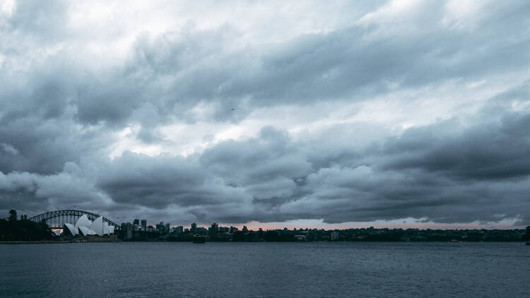
In very bad news for Sydney's beach lovers and good news for our water supply, it looks like La Niña – the weather pattern that increases our rainfall, shifts temperature extremes and increases the number of tropical cyclones – will be coming back later this year. The prediction of La Niña's possible rainy return comes from global weather modellers – they’ve released their forecast for a rapid cooling of sea surface temperatures across the equatorial Pacific during the coming months, so it looks like we should prepare to wave goodbye to El Niño and settle in for some damper times ahead. Sydney recorded it's muggiest day on record earlier this year, and it looks like we could be in for more on the precipitation front.
According to the Bureau of Meteorology, El Niño and La Niña are the climate drivers with the strongest influence on year-to-year climate variability for most of Australia. Part of a natural cycle known as the El Niño-Southern Oscillation (ENSO), the varying weather patterns generally operate on a timescale that varies from one to eight years: with the La Niña phenomenon generally only occurring every one to seven years.
If 2024 does have to welcome another La Niña, it would mean that Sydney has sat through four of these rain-drenched seasons in just five years – a frequency that has only occurred twice since 1900. As you may remember from 2022 (Australia’s wettest year on record), La Niña brings with her a whole lot of rain: with Australia recording an average 23 per cent increase in rainfall on the years that La Niña strikes.
And although a comeback from our friend La Niña is statistically unlikely, weather forecasters are suggesting that it’s something we should expect – with 55 per cent of weather models predicting a switch to La Niña between June and August 2024.
Earlier this month, a report by Climate.gov stated that although this year’s El Niño event has passed its peak, the impacts of the ocean-atmospheric phenomenon can linger through April. The impact of El Niño on ocean temperatures directly impact the chances of another La Niña, and forecasters are reportedly “pretty confident” in a transition from El Niño to ENSO-neutral sometime during March to June 2024, with “general consensus” among the models that La Niña will follow.
Although more than half of weather models are predicting that La Niña should set in again between June and August, these predictions could change with atmospheric changes and random weather events. All we can do is hope (and make sure to pack an umbrella).

